Fast and unique cross-platform GIS


Get Started

Cross-platform GIS software


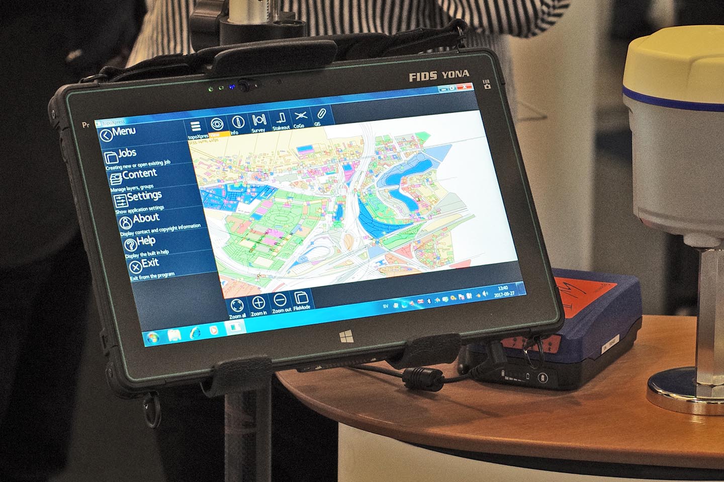
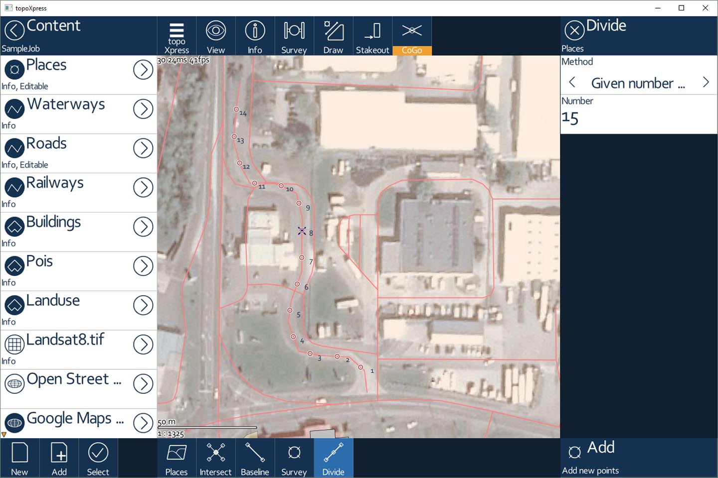
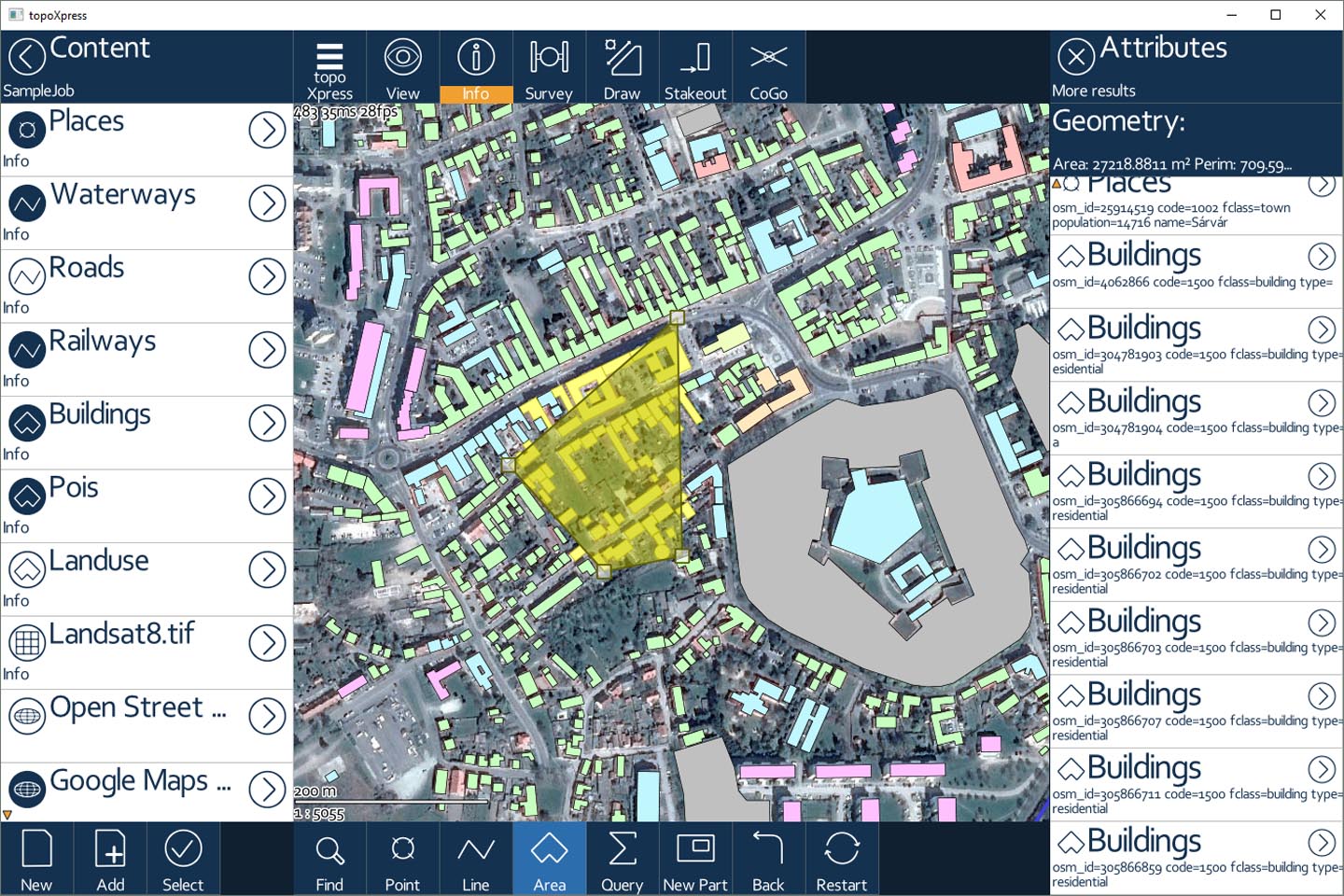
topoXpress is an efficient GIS and Surveying application for Windows® desktop, Android™ and macOS® and iOS®. It supports online or offline field data collection and data processing in the office. topoXpress provides an intuitive and responsive user interface, portable cloud access, fast thematic mapping, GNSS surveying, stakeout and CoGo functions, smart forms and calculated fields on all platforms.

Learn More

One single application for


Field and office

Prepare your job in the office, take it out to the field and collect geospatial data. After fieldwork, edit, process and share your measurements – all with one single application. Why would you use many programs if you can do your job with a single one?
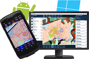
Android™, Windows®, macOS® and iOS®

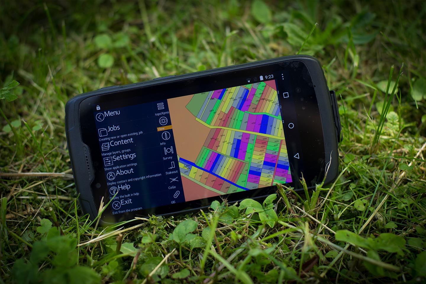
Use the same user interface on Android™, Windows® desktop and macOS® and iOS®. Don't need to learn multiple software products, don't need to buy several licenses.
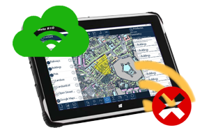
Online and offline

You can access topoXpress by an online cloud service but without internet connection, there is also an offline use option. Get to the field with your own vector or raster maps or select built-in TMS services.
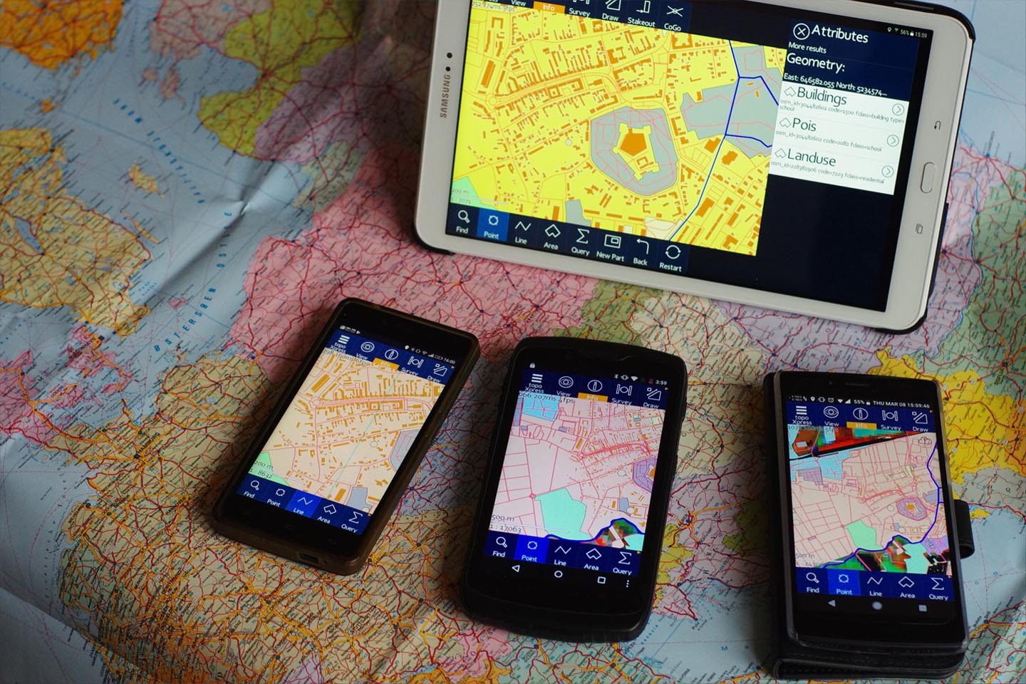
Key features


Productive

Quick and easy data collection: jobs, GNSS surveying, stakeout, intelligent forms, calculated fields, lists, CoGo functions and much more.


Robust

Unique mapping engine with quick displaying algorithms to support really big vector and raster files.


Customizable

Create your own templates, jobs, layers, attribute tables. Set every important option for maximum performance, including language variables, local projections and datums, measurement units, geoids and gridshifts.


Versatile

Load your MAP, SHP, MIF, DXF, TXT, CSV, DAT, DBF, TAB, MID or GEOjson vector files, view the raster images in JPEG, ERS, ECW, TIFF, GEOTIFF, PNG, LAN, BIL, BMP formats. Load your aerial or satellite images or use built-in online Tile Map Services such as Google Satellites, Bing Maps Roads or OpenStreetMaps.


Bring your own device

Use any of your old or new GNSS receiver with your Android™ based controller, or simply use the built-in GNSS receiver of your device.


topoXpress in action


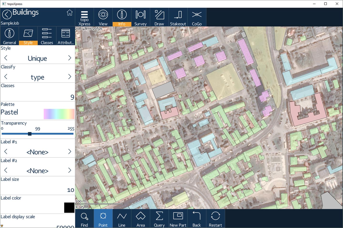
Classification, styles, transparency

How can I import KML files?

How can I create a new job?

How can I create a new layer?

How to use Google Drive / Dropbox / One Drive in topoXpress software?

How to measure / survey with topoXpress software?

How to use Geode external antenna with topoXpress software?

How to use the Spectra SP 60 external antenna with topoXpress?

Downloads


Get it on Google Play
 

Please follow the instructions in Google Play in order to install the application. Google Play and the Google Play logo are trademarks of Google LLC.

If needed, you can use this this alternative link for downloading
(although without automatic updates)


Download on the App Store
 

Click on the badge above to get topoXpress for iOS® devices.

iOS and App Store is a trademark of Apple Inc.


Click here to get topoXpress iOS® beta version if you are willing to joint the voluntary test team on TestFlight.


Download installer for Windows®
 
  1. Double-click the downloaded installer.
  2. Follow the on-screen instructions.
  3. Choose to run the program at the end of the installation process or run the software from your desktop.


Download portable for Windows®
 
  1. Unzip the downloaded installer.
  2. Double-click on "exe" which belongs to your Windows platform.


Download installer for macOS®
 

macOS is a trademark of Apple Inc.

  1. Double-click on the downloaded disk image in Finder.
  2. Drag the topoXpress icon to the right, into the Applications folder.
  3. After dragging into the Applications, the software can be launched from the Launchpad.


Current version: {$version}
(Click to view the changelog)


topoXpress User Manual - English [PDF]
topoXpress brochure - English [PDF]
topoXpress Frequently Asked Questions - English [PDF]
topoXpress macOS guide - English [PDF]
topoXpress iOS/iPadOS guide - English [PDF]
topoXpress Bluetooth GNSS connection guide on Windows 10 - English [PDF]
topoXpress - Leica DISTO® connection guide for iOS - English [PDF]


Purchase


For unlimited topoXpress Cloud access, training and support in your own language, please contact a reseller nearest to your location:

Get in Touch


Fill out the form below and we'll get back to you as soon as possible.